Yellow weather warnings issued for snow and ice as temperatures plummet
-
Published
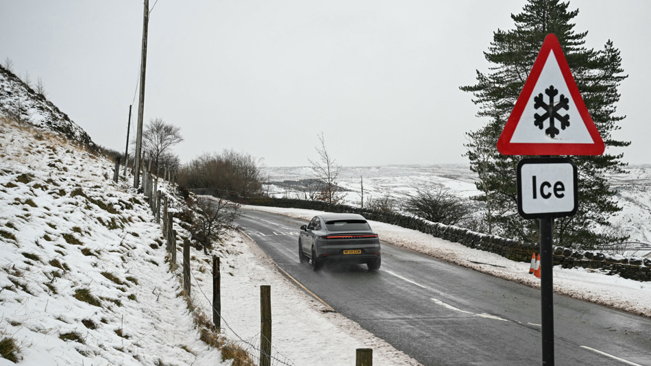
A spell of cold and wintry weather is set to grip northern areas of the UK early this week, bringing the threat of ice and hill snow.
A yellow weather warning for ice is in effect until 10:00 GMT on Monday after Arctic air pushing across the UK on Sunday night caused temperatures to plummet.
Cold health alerts for parts northern England also remain in force from the UK Health Security Agency (UKHSA) until 21:00 GMT on Thursday.
Some snow is forecast over the hills and mountains in the north over the coming days but the wintry chill will be fairly short-lived in the south, where temperatures will rebound to above average by midweek.
Met Office warnings for snow and ice
 Image source, BBC Weather
Monday morning will start on a chilly note for all parts, although the coldest conditions will be across the northern half of the UK.
Whilst temperatures in the south will generally be a few degrees above freezing, northern England, Scotland and Northern Ireland will wake up to a sharp frost with some wintry flurries over the hills.
A Met Office weather warning for ice is in place until 10:00 GMT on Monday for northern and eastern Scotland as well as part of Cumbria, Northumberland and Durham.
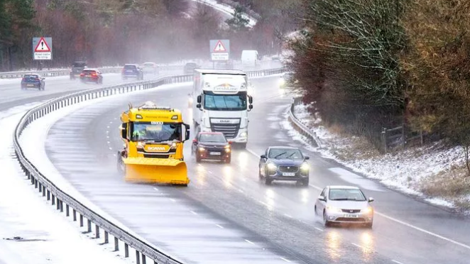
In these regions, showers of rain, sleet or hill snow are likely to fall onto sub-zero surfaces, bringing a risk of icy stretches on untreated roads, pavements and cycle paths.
Cold health alerts, issued by the UKHSA, are also in force across north-west England, north-east England, Yorkshire and the Humber until 21:00 GMT on Thursday.
These alerts are only issued in England and are aimed at health and social care professionals.
 Image source, BBC Weather
Though Monday will be dry and bright for many places, wintry showers will affect some eastern parts of England and Scotland, with these falling as sleet or snow over high ground.
Afternoon maximum temperatures will be a chilly 4-8C in most places – a few degrees below the seasonal average.
Later in the day, the next front will approach from the south-west bringing milder air and some heavy and persistent rain.
As this band of rain then moves northwards overnight into Tuesday, a further spell of hill snow may develop.
 Image source, BBC Weather
A yellow weather warning for snow is set to come into effect on Tuesday from midnight until 12:00 GMT, covering the Midlands, north-east and north-west England, Yorkshire and the Humber and parts of south-west Scotland.
Where snow does accumulate, depths of 1-5cm are likely, although some locations above 300-400m could see 5-15cm.
Some roads and railways are likely to be affected, resulting in longer travel times by road, bus and train services. Power cuts are also possible.
Further south, Tuesday will be a very different day with blustery conditions and some heavy showers.
This battleground of colder, drier conditions in the north and milder, wetter weather in the south will continue into the middle of the week.
You can keep up to date with your local forecast by checking BBC Weather online and on the app.
-
-
Published2 January
-
-
-
Published19 November 2025

-

Disclaimer : This story is auto aggregated by a computer programme and has not been created or edited by DOWNTHENEWS. Publisher: BBC