
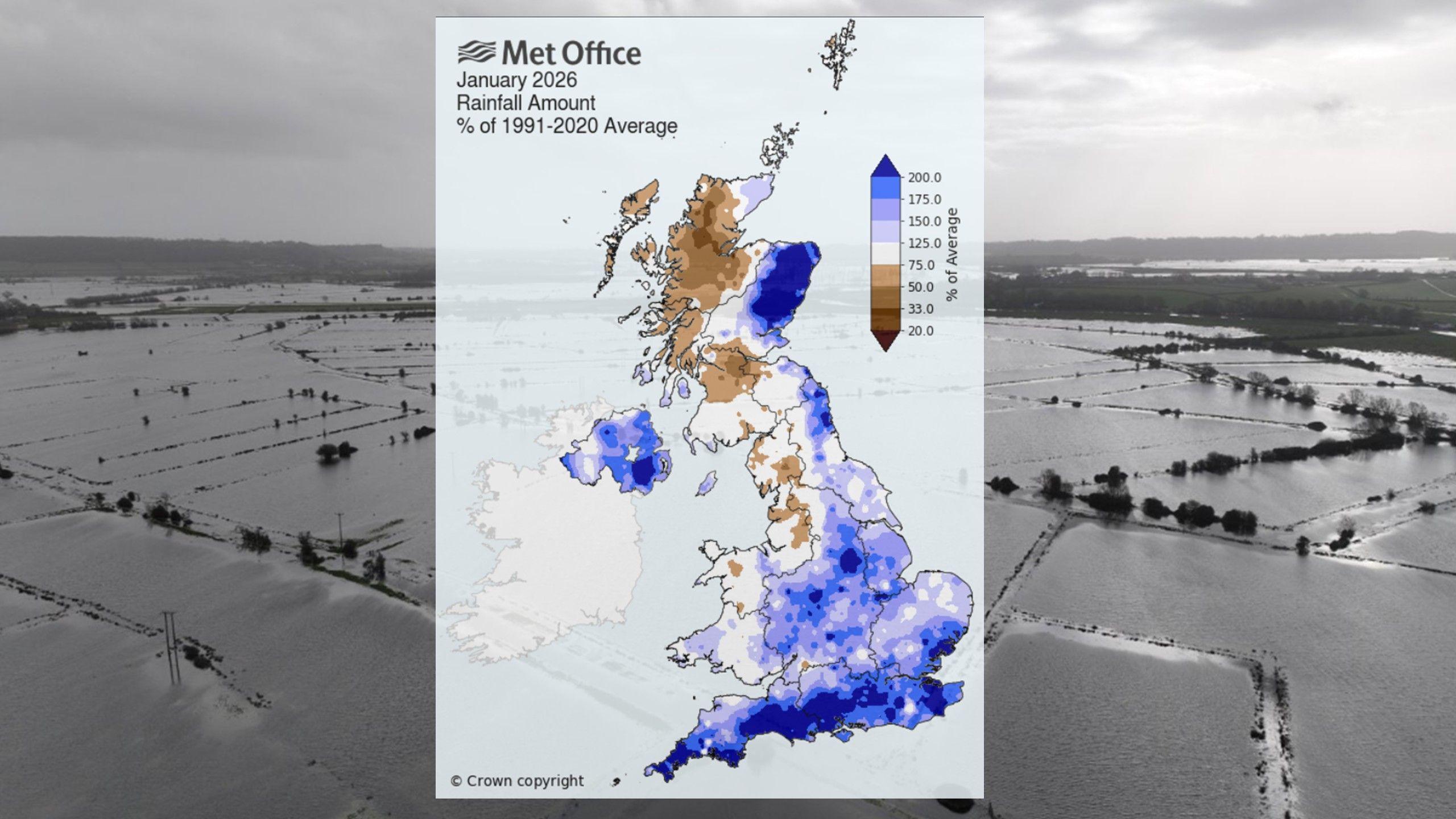
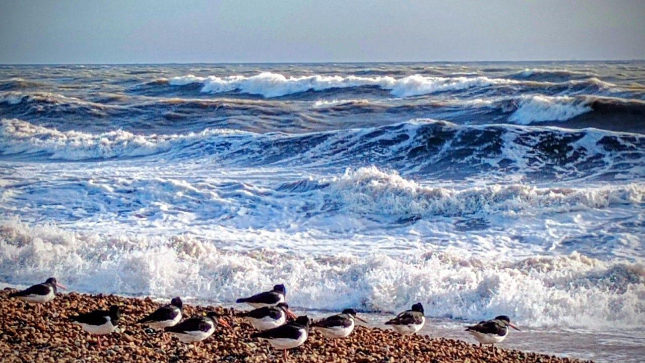
Official statistics for January have been released by the Met Office and confirm what many will already suspect – it has been very wet for many areas.
Northern Ireland, south-west and southern England, and the east of Scotland all had one of their wettest Januarys on record.
With 70% more rain than average Northern Ireland experienced the wettest January for 149 years. Culdrose in Cornwall recorded two and a quarter times its average, while Aboyne in Aberdeenshire had nearly four times its January average of 68.9mm.
The month also bought us an average amount of sunshine and a below average overall temperature, something that’s increasingly rare as our temperatures warm due to climate change.
 Met Office/BBC
Conversely, rainfall across north-west England and west Scotland was below average. You can see in the map above the areas coloured brown had less than normally expected in January.
That includes north-west England and western Scotland.
Altnaharra, in Highland, has seen 66mm of rain, which is less than half its January average. Aviemore has also had below the average as it has been very sheltered from the prevailing south-east winds by the Cairngorm mountains.
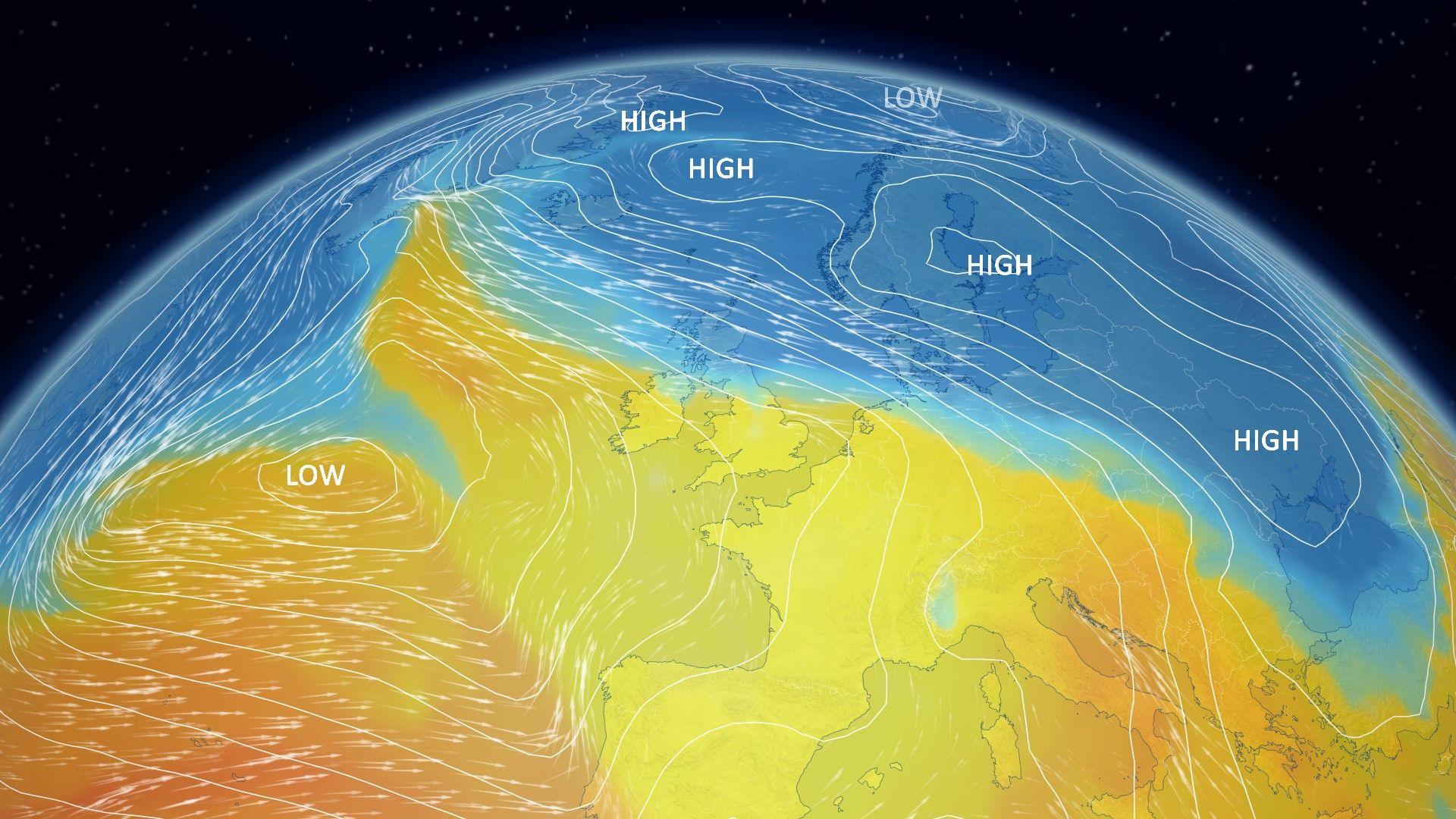
The reason it has been so wet for many is because of a blocking area of high pressure over Scandinavia.
As rain-bearing areas of low pressure have come in off the Atlantic, they’ve been prevented from moving through.
This has often resulted in a pattern of south-westerly winds in the south of the UK, and south-easterly winds in east Scotland. Areas exposed to those prevailing winds have had the wettest weather.
Is more flooding on the way?
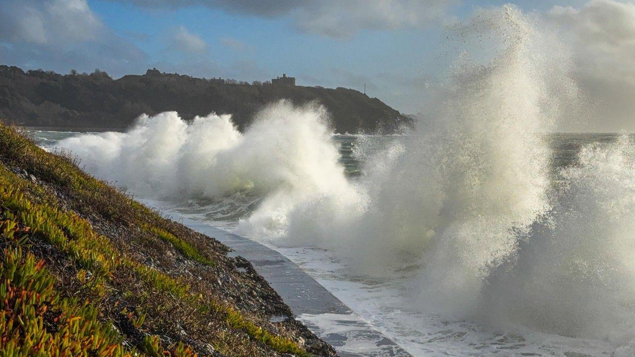
The Met Office has issued a yellow rain warning for south-west England, valid between 18:00 Monday and 21:00 Tuesday with 10-20mm falling widely and up to 50mm over Dartmoor. The ground remains saturated and more than sixty flood warnings are in force even before this next batch of wet weather arrives, so further flooding is expected.
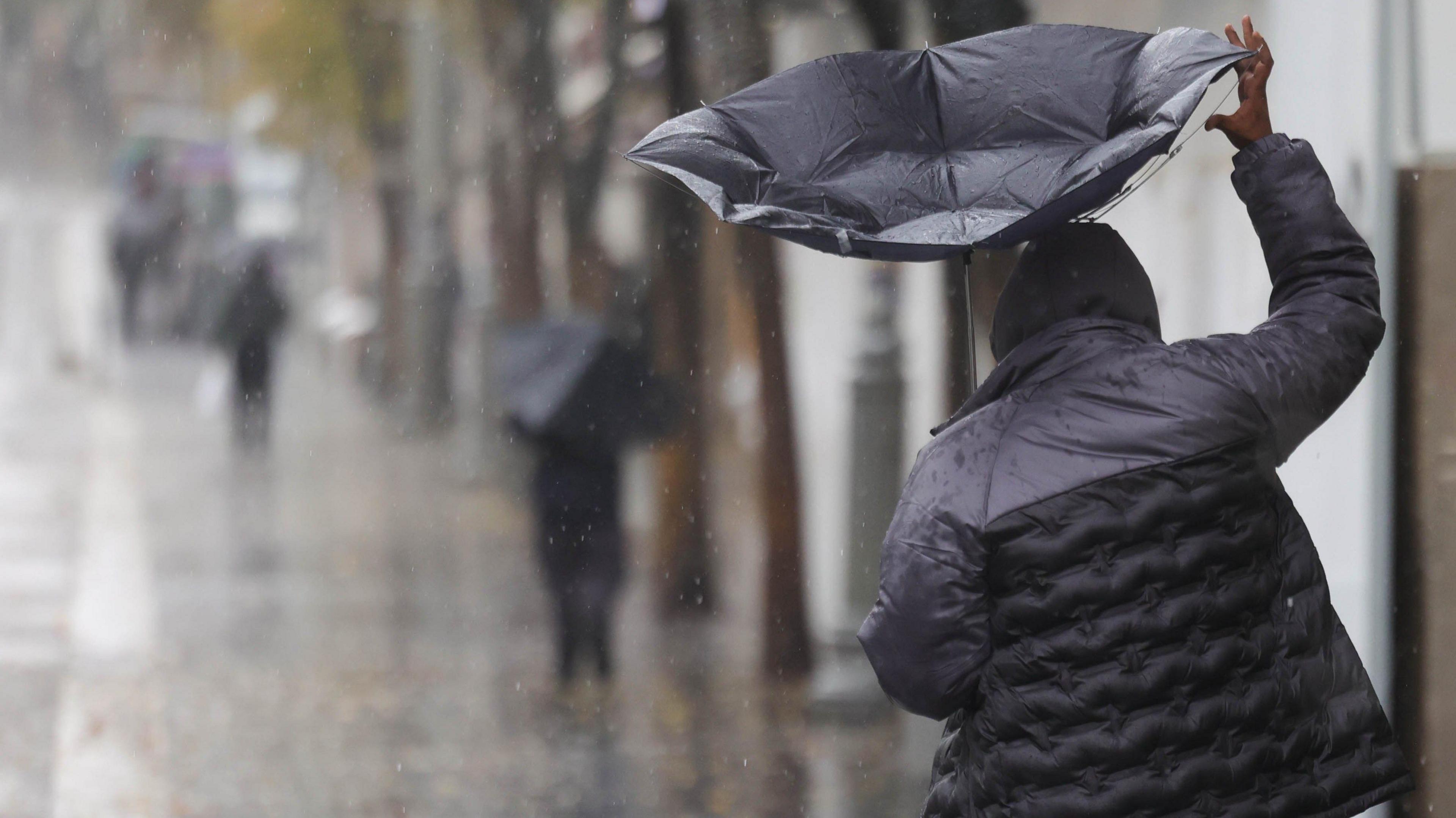
There are also yellow warnings for snow in north-east Scotland for Tuesday and Wednesday with 10-20cm forecast above 200m elevation and several centimetres at lower elevations, bringing the threat of some localised disruption.
Beyond the next few days of weather, the same blocking area of high pressure remains over Scandinavia for another two weeks. So it is likely that weather patterns will stay stuck in a rut with nothing changing substantially until mid-February.
That means the threat of more heavy rain with localised flooding in southern England and eastern Scotland where hill snow is also likely at times. We’ll probably see more of a change in our weather patterns during the second half of February.
The great irony about all this rain is that technically a hosepipe ban remains in force for parts of southern England – that means you shouldn’t go out watering your grass or plants, not that they’ll be needing any extra water right now.
-
-
3 days ago
-
Disclaimer : This story is auto aggregated by a computer programme and has not been created or edited by DOWNTHENEWS. Publisher: BBC


