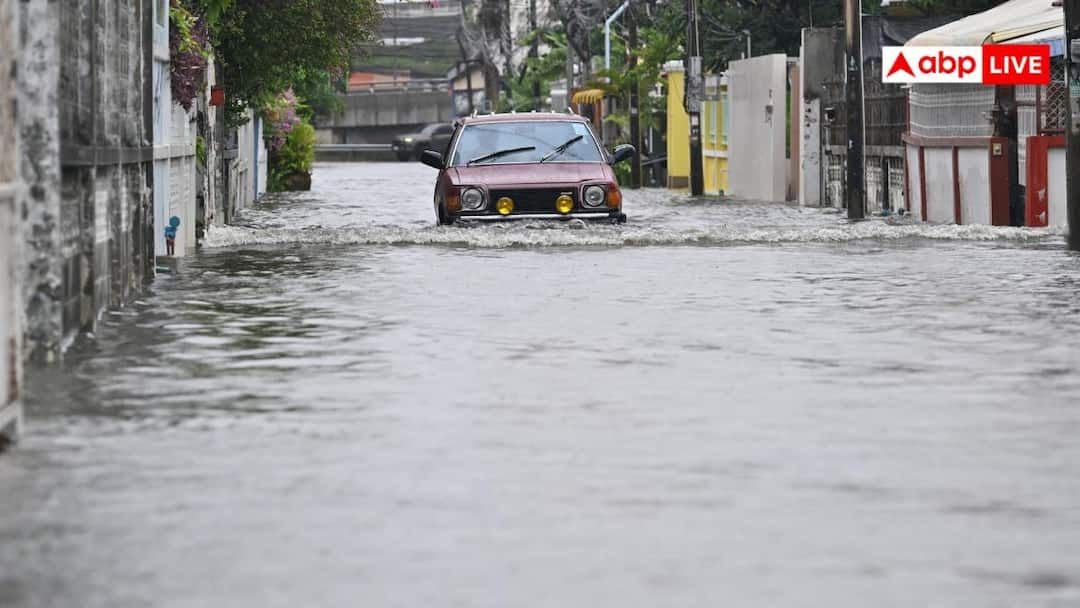
The southwest monsoon is nearing its withdrawal phase in India. However, instead of a gradual transition towards dry weather, several parts of the country are witnessing intense rainfall, thunderstorms and strong winds. A weather system developing over the Bay of Bengal has brought fresh moisture into the atmosphere, triggering heavy to very heavy rainfall across several states.
More than 20 states have received weather alerts for the coming days. Uttar Pradesh, Uttarakhand, Delhi-NCR, Himachal Pradesh and several central and eastern states are among the regions expected to be affected.
Why Is Uttar Pradesh Receiving Heavy Rain?
Uttar Pradesh has witnessed torrential to very heavy rainfall, disrupting normal life in several districts. Schools up to Class 12 have been closed in several places, including Lucknow, Banda and Bahraich.
Warnings have also been issued over waterlogging and the possibility of flooding, with a red alert in place in some areas. The rainfall is linked to increased moisture brought inland by a weather system moving from the Bay of Bengal.
Uttarakhand has also been placed under an alert for heavy to very heavy rainfall. Given the state’s mountainous terrain, intense rain could increase the risk of landslides and flash floods.
Haryana, Punjab, Himachal Pradesh and east Rajasthan have also received warnings for heavy rain, lightning and strong winds.
Depression Brings Rain To Central And Eastern India
Chhattisgarh and Madhya Pradesh have witnessed heavy rainfall under the direct influence of the depression. Schools were also closed in parts of Chhattisgarh due to the weather conditions.
The same system has brought very heavy rainfall to Odisha, West Bengal and Sikkim. Landslides have also been reported in parts of Sub-Himalayan West Bengal, including Darjeeling.
Meanwhile, Bihar, Jharkhand, Andhra Pradesh and Telangana have been warned of moderate to heavy rainfall and lightning. Rain is also expected in parts of Assam, Meghalaya, Nagaland, Manipur, Mizoram and Tripura.
How Did Bay Of Bengal Weather System Develop?
The main reason behind the sudden change in weather is the development of a depression or low-pressure system over the Bay of Bengal. The system moved inland through Odisha and Chhattisgarh towards Uttar Pradesh and Madhya Pradesh.
Meteorologists have compared the system to a moving tap because it continues to draw moisture from the Bay of Bengal into the atmosphere. This additional moisture helps recharge rain-bearing clouds, allowing them to produce intense rainfall over a longer period.
At the same time, a western disturbance is active over the mountainous areas of Uttar Pradesh and the middle troposphere. Cold winds associated with the system are moving eastwards.
When moisture-laden winds from the Bay of Bengal interact with the western disturbance moving in from the northwest, the two systems work together. This convergence has intensified rainfall, thunderstorms and lightning across several parts of north India.
Why Has Monsoon Withdrawal Slowed Down?
The southwest monsoon had already begun withdrawing from some parts of northwest India. However, the fresh moisture supplied by the Bay of Bengal system has once again increased atmospheric moisture levels.
As a result, the further withdrawal of the monsoon has temporarily slowed for around a week. This explains why several areas that had begun experiencing post-monsoon conditions are suddenly witnessing widespread rain, thunderstorms and cooler winds.
Disclaimer : This story is auto aggregated by a computer programme and has not been created or edited by DOWNTHENEWS. Publisher: abplive.com