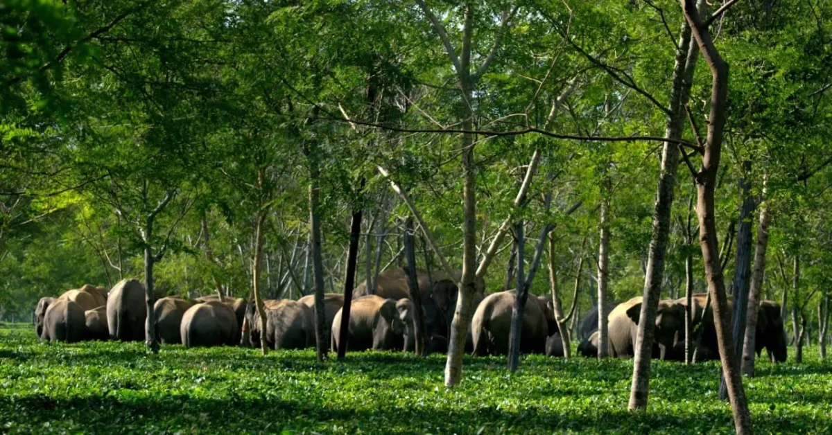
When the paddy fields begin to ripen in Assam’s Sonitpur district, two elephant herds start making a familiar journey.
For much of the year, Tara and Phul, the female elephants leading these herds, remain in and around Sonai Rupai Wildlife Sanctuary. But as harvest season approaches, they move towards tea gardens, farmland and the islands of the Brahmaputra River.
They often travel at night, passing close to homes, fields and roads.
For a farmer, an elephant entering a field can mean losing a crop. For the animal, crossing a railway line or encountering frightened people can be dangerous, sometimes fatal.
So how can we keep both safe when they need to share the same land?
To find answers, the Assam Forest Department and WWF-India decided to follow the elephants themselves.
Five elephants, 38000 locations. What did researchers find?
Between April 2021 and June 2026, researchers fitted GPS collars to five elephants in Udalguri, Sonitpur and Biswanath, three Assam districts where encounters between people and elephants are a serious concern.
Four were females travelling with their herds. The fifth was Bishu, a solitary, tuskless male in Biswanath.
The collars recorded their locations over time, giving researchers more than 38,000 GPS locations across five years.
Each location offered a small clue. Together, they showed which forests the elephants returned to, when they wandered towards farms and how they travelled between places that appeared disconnected on an ordinary map.
The findings, published in October 2026 in a report titled Tracking the Giants, gave researchers a clearer picture of journeys that villagers often become aware of only when elephants appear near their homes.
And one pattern stood out: the elephants travelled much farther during certain months of the year.
Why do elephants wander into farms every October?
In Sonitpur, Tara and Phul’s herds spent most of January to September within Sonai Rupai Wildlife Sanctuary. But between October and December, they ventured towards tea estates and settlements near Arimora Chapori, close to the Brahmaputra.
Earlier observations by WWF-India also showed that these herds often crossed areas used by people at night, resting in tea gardens or forest patches during the day.
A similar pattern emerged further west, in Udalguri.
Here, two other female elephants, Mynow and Budhuni, travelled with their herds through Bornadi Wildlife Sanctuary, nearby reserve forests and tea plantations.
Between October and January, their journeys extended into crop fields around tea estates such as Barangajuli, Dimakuchi and Paneri.
The timing matters.
These months overlap with the paddy season, when ripening crops can attract elephants towards farms. That brings them dangerously close to people trying to protect their harvests.
But knowing when and where elephants are likely to appear could make a real difference.
Instead of being caught unaware, forest teams and nearby communities could use these findings to prepare for their arrival and reduce the chances of dangerous encounters.
What happens when an elephant’s route crosses a border?
The GPS collars revealed something else: the elephants’ journeys rarely ended where a forest boundary did.
Although Sonai Rupai, Bornadi and Behali wildlife sanctuaries were important habitats, the elephants also moved through tea estates, agricultural fields and river channels to reach other areas.
Bishu, for example, travelled between Behali Wildlife Sanctuary and the Brahmaputra river islands that form part of Kaziranga National Park.
Other elephants used river channels to move between forests along the Himalayan foothills and the grassy islands of the Brahmaputra, locally known as chaporis.
For the elephants, these were routes connecting places they depended on. But some also passed through roads, railway lines and settlements, putting both animals and people at risk.
And in Udalguri, researchers discovered that the elephants’ journeys extended beyond India.
During the dry season, the herds travelled into Bhutan’s adjoining Jomotsangkha Wildlife Sanctuary.
This discovery showed why keeping elephant routes safe requires cooperation between India and Bhutan, especially when the same herds move between both countries.

Could these GPS maps help save lives?
The need for safer encounters is urgent.
Between 2000 and 2023, elephant encounters claimed 1,468 human lives in Assam. During the same period, 626 elephants died from human-related causes, including electrocution, poisoning and railway collisions, according to figures cited in the study.
The new GPS maps cannot prevent these tragedies on their own. But they can help forest officials understand where elephants regularly cross into areas used by people, identify dangerous stretches and plan ways to make these journeys safer.
The report suggests measures around tea estates, including better lighting near settlements and roads, carefully planned fencing and discouraging crowds from approaching elephants.
Researchers also observed how elephants responded to an existing conflict-management measure. In 2025–26, the Sonitpur herds did not enter Arimora Chapori after their movement along Sonai Rupai’s southern boundary was blocked.
Whether this change will make their journeys safer in the long run still needs to be studied.
As Aritra Kshettry, who leads WWF-India’s Elephant Conservation Programme, explains, understanding where elephants travel and how their movements change with the seasons can help authorities plan better ways to reduce conflict.
Five elephants cannot tell researchers everything about every herd in Assam. But following their journeys has revealed something valuable: where elephants and people are most likely to cross paths, and when.
That knowledge could help a farmer prepare before elephants reach a field, while giving the animals safer ways to move between the forests they depend on.
And perhaps that is what makes these 38,000 locations so important. Each one brings researchers closer to understanding how people and elephants can share the same landscape more safely.
Source:
‘Assam GPS study tracks 38,000 elephant locations, maps key movement corridors’: By The Assam Tribune, Published on 8 October 2026
‘Tracking the Giants: Movement and Habitat-Use Patterns of GPS-Collared Elephants in Assam’: By WWF, Published on 6 October 2026
‘New GPS telemetry study reveals elephant movement patterns across Assam’: By WWF, Published on 6 October 2026
Disclaimer : This story is auto aggregated by a computer programme and has not been created or edited by DOWNTHENEWS. Publisher: thebetterindia.com