
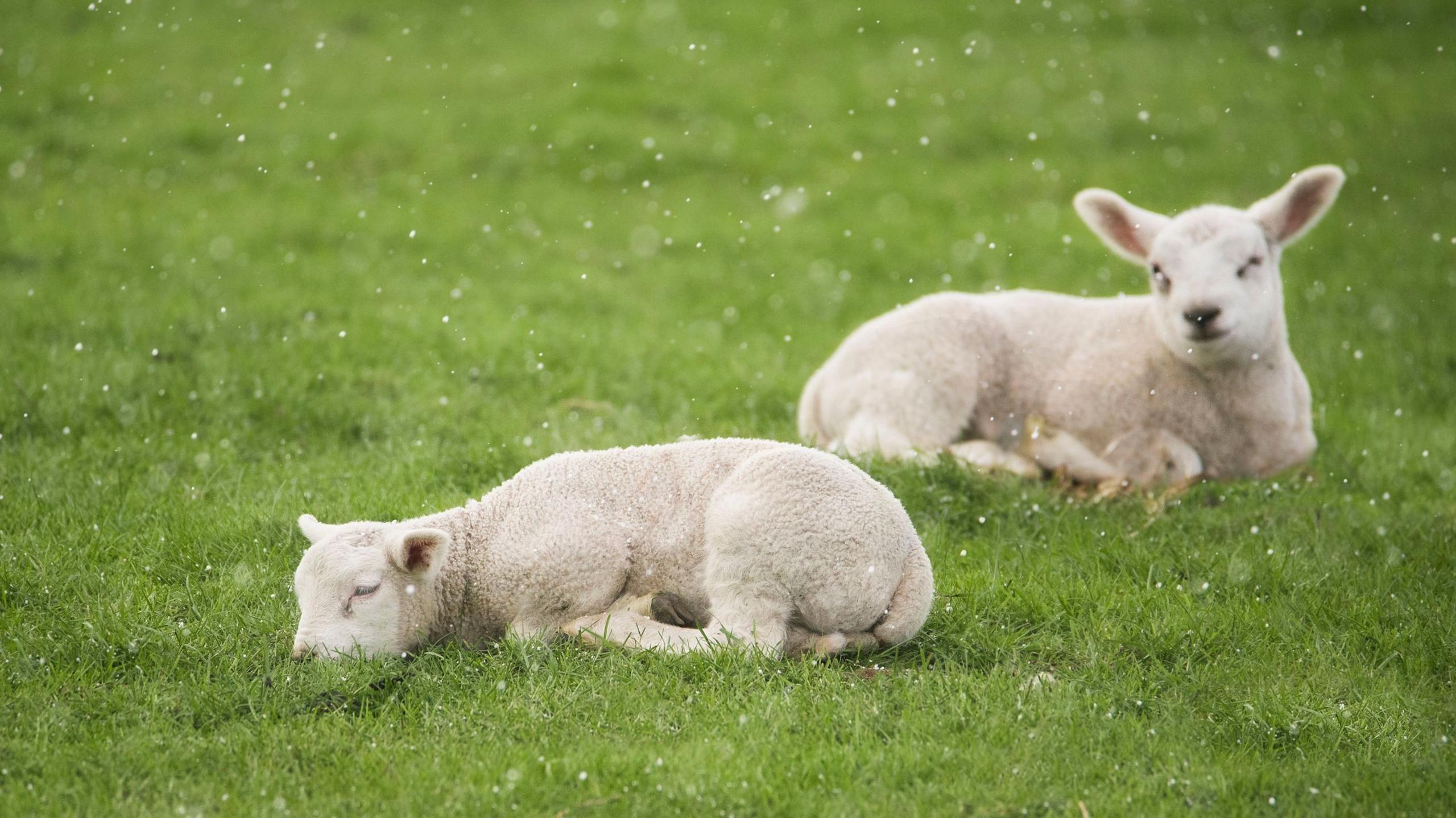
After a taste of springlike warmth across the UK, single-digit temperatures are set to return this week with the chance of snow for some.
Although March is commonly when the sun starts to feel considerably warmer, the air over the far northern Atlantic remains cold.
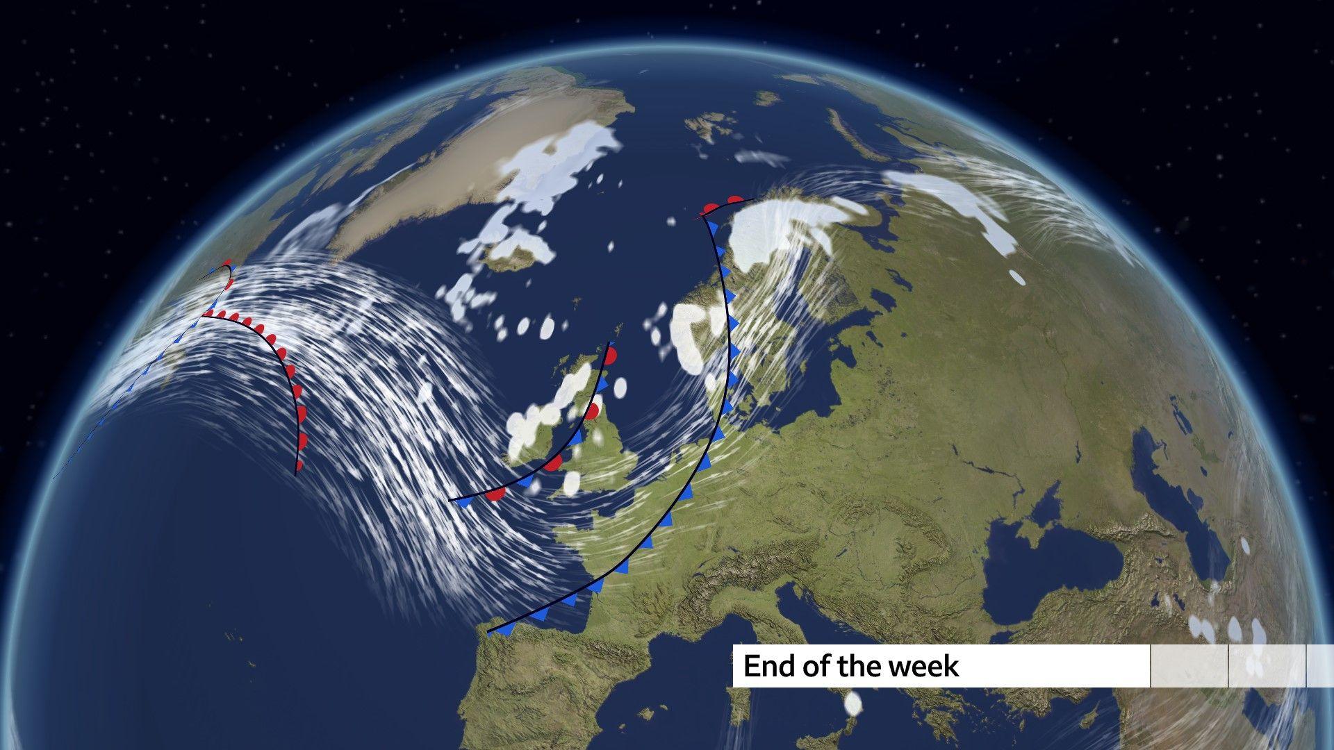
A number of fronts are set to progressively bring this colder air from the north-west across the UK.
As the week wears on, daytime temperatures will drop and by Friday may struggle to reach double figures – reminding us that winter is still only winding down and the mild, sunny, spring-like days are still few and far between.
 BBC Weather
This change is being brought about by the ramping up of the jet stream, delivering a succession of weather fronts with increasingly wet conditions.
There is even the possibility of wintry showers by the end of the week.
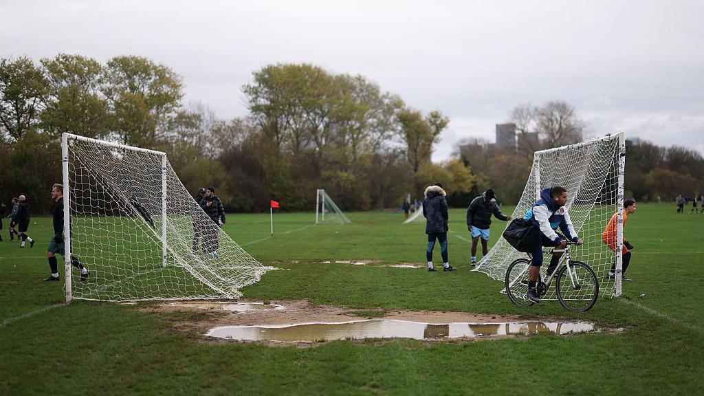
The mist and fog that have been in abundance in many areas will be swept away by strong winds coming in off the Atlantic.
While it is expected to be a little too breezy for widespread overnight frosts, some prone locations may dip to freezing where skies clear between weather fronts.
Will it snow?
Stronger winds will bring wintry showers of sleet and snow over high ground in the north of the UK with the chance of accumulating snow on some hills and mountains.
Fast-moving hail showers are possible almost anywhere and brief flurries of wet snow are not out of the question, even in the south.
However, snow is unlikely to settle here.
 Getty
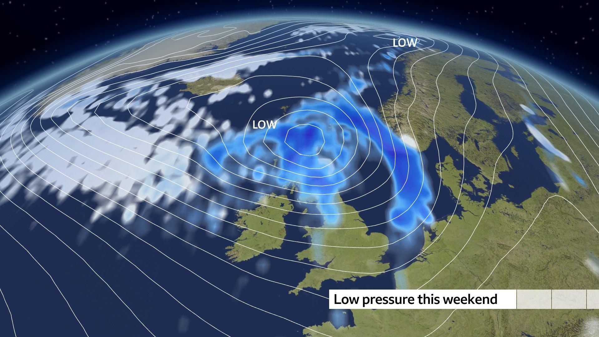
GettyGales over Scotland
At the weekend, a potentially nasty area of low pressure may sweep across the country, with gales most likely over Scotland.
Many parts of the UK are likely to experience gusts of between 40 and 50mph, while more exposed parts of the north-west could see winds reaching 60mph or more.
It will feel cold and many of us will have to reach for thick coats, hats and even gloves.
The good news is that there will be lulls between the successive weather systems, with sparkling sunshine and crisper conditions.
 BBC Weather
How long will the colder weather last?
Some computer models suggest that beyond the weekend the weather may revert to high pressure once again – which would bring drier conditions.
Others keep things unsettled for much longer, and potentially rather cold.
Either way, it is still only March, and there are likely to be many weeks of changeable weather ahead, alternating between milder and colder spells, as is quite typical for this time of year.
-
-
3 days ago

-
Disclaimer : This story is auto aggregated by a computer programme and has not been created or edited by DOWNTHENEWS. Publisher: BBC


