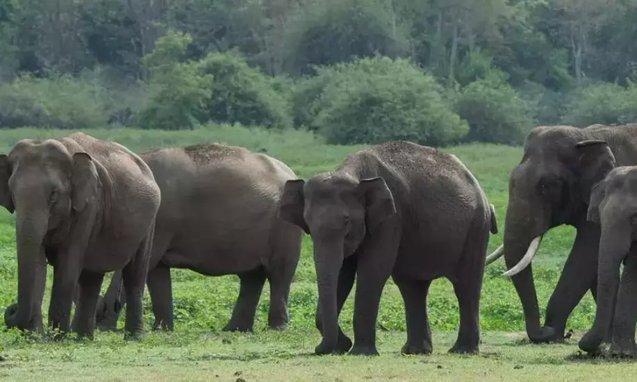
A landmark five-year GPS tracking study by the Assam Forest Department and WWF-India has revealed how wild elephants navigate the state’s fragmented landscape of forests, tea plantations, farmlands and river channels, offering critical insights for conservation and reducing human-elephant conflict.
The report, Tracking the Giants: Movement and Habitat-Use Patterns of GPS-Collared Elephants in Assam, was released on Tuesday by Environment, Forest and Climate Change Minister Jayanta Mallabaruah during the 72nd Wildlife Week celebrations in Guwahati.
Between 2021 and 2026, researchers fitted GPS collars on four female-led herds and one solitary male elephant in the high-conflict districts of Udalguri, Sonitpur and Biswanath. The effort generated more than 38,000 GPS locations, providing high-resolution data on seasonal movements across multi-use landscapes. Sonai Rupai, Behali and Bornadi wildlife sanctuaries emerged as key habitats extensively used by the collared elephants. Protected areas and reserve forests remained important for much of the year.
However, tea plantations served as significant movement pathways and secondary habitats, often bringing the animals close to people. In Udalguri, one collared elephant, Mynow, was recorded in tea plantations in over 40 per cent of locations during the monsoon and post-monsoon seasons, while Budhini’s herd used them even more intensively. Home ranges expanded sharply during the paddy cropping season, coinciding with peak conflict. In Sonitpur, post-monsoon locations showed roughly 40 per cent in agricultural fields, 40 per cent in forests and 20 per cent in tea estates. Some elephants ranged over vast areas—Mynow’s annual home range was estimated at about 890 sq km, while the solitary male Bishu in Biswanath covered around 947 sq km.
The study also documented elephants using river channels to move north-south between Himalayan foothill forests and the Brahmaputra’s grasslands and chaporis (riverine sandbars). Dry-season movements were recorded between Udalguri and Bhutan’s adjoining Jomotsangkha Wildlife Sanctuary, highlighting the need for stronger India-Bhutan coordination to secure transboundary corridors.
“This report fills a major knowledge gap on elephant presence and movement in the state. The findings provide important baseline information on ranging patterns, particularly where they overlap with human land use. This will help formulate conservation strategies and strengthen coexistence measures,” said Vinay Gupta, Principal Chief Conservator of Forests (Wildlife) and Chief Wildlife Warden.
The minister said that the study would guide conservation planning, strengthen wildlife-friendly infrastructure and support safer coexistence between people and wildlife. Assam has recorded significant human and elephant casualties from conflict over the past decade, underscoring the urgency of evidence-based solutions.
WWF-India officials noted that the telemetry data identifies core natural habitats, secondary habitats and seasonal routes, giving policymakers a solid foundation for securing elephant landscapes and managing conflict in one of India’s most important Asian elephant regions.
Disclaimer : This story is auto aggregated by a computer programme and has not been created or edited by DOWNTHENEWS. Publisher: deccanchronicle.com