HOKKAIDO –
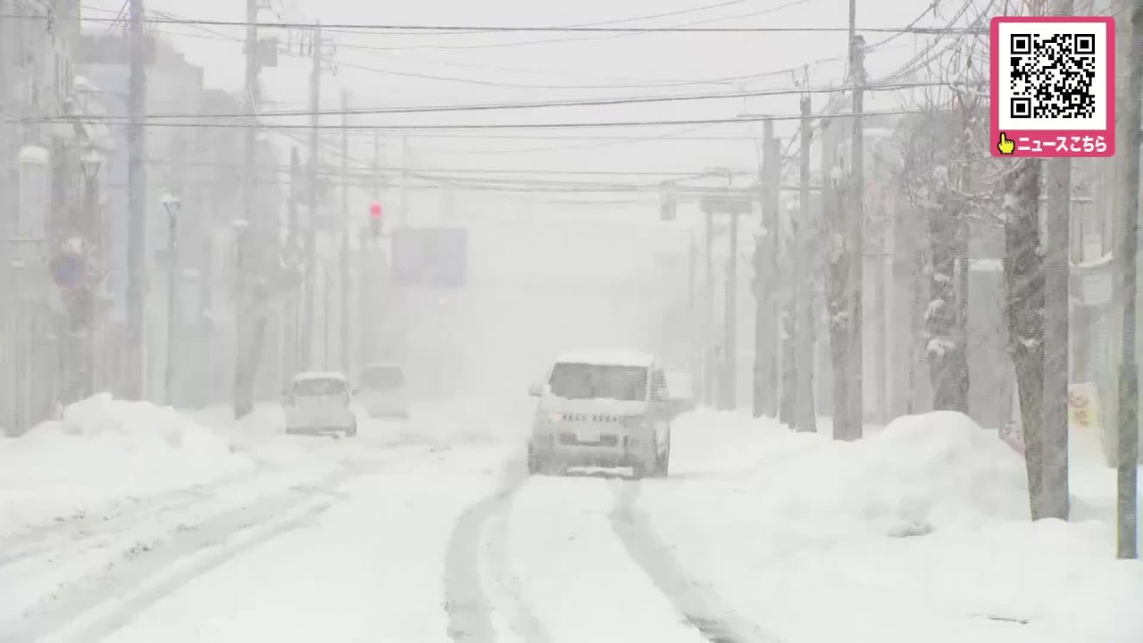
Hokkaido is facing another day of heavy snow, freezing temperatures and strong winds on Tuesday, November 10, as midwinter-like cold air sweeps across northern Japan, with snowfall of up to 30 centimeters forecast in some areas and blizzard conditions threatening to disrupt transportation. As of 6 a.m. on November 10, snow advisories remained in effect for parts of Hokkaido, including Sapporo, where a heavy snow advisory was scheduled to remain in place until 9 a.m.
Snowfall is expected to be concentrated along the Sea of Japan coast, while strong winds could produce further whiteout conditions in exposed areas.
The severe weather began on November 9, when widespread snowfall accompanied by powerful winds struck Hokkaido. In Bifuka, in the Kamikawa region, a blizzard temporarily reduced visibility to almost zero, creating dangerous conditions for motorists.
Forecasts issued on November 9 indicated that northern and central Hokkaido could receive as much as 30 centimeters of snow over the 24 hours through the evening of November 10. Particularly heavy accumulations were expected around Bifuka and Horokanai in northern Hokkaido, Rumoi along the western coast, and inland areas around Iwamizawa, Ebetsu and Kutchan.
Parts of Sapporo, particularly northern districts away from the city center, could receive around 20 centimeters of snow. The combination of wet snow and strong winds has raised concerns about slippery roads, reduced visibility and disruptions to public transportation.
Tuesday is also expected to bring some of the coldest weather of the season across Hokkaido. Sapporo is forecast to reach a high of just 2 degrees Celsius after an overnight low of minus 3 degrees, with snow showers possible during the morning before conditions gradually improve in the afternoon.
In Asahikawa, temperatures are expected to range from minus 4 degrees to a high of 1 degree, with snow continuing into the early morning and a chance of thunderstorms. Rumoi is forecast to experience more persistent snow and blizzard conditions, with temperatures ranging from minus 2 degrees to 2 degrees and snowfall continuing intermittently throughout the day.
Further north, Wakkanai is expected to see occasional snow and a high of around 1 degree, while Kutchan in the mountainous Shiribeshi region is forecast to remain particularly cold, with a low of minus 5 degrees and a high of zero.
Snowfall is expected to ease across parts of central Hokkaido by late Tuesday morning, although western coastal districts, including Rumoi, could continue to experience intermittent snow into the afternoon and evening.
The unsettled conditions are being driven by a series of low-pressure systems and a mass of cold air comparable to that normally experienced in midwinter. The resulting unstable atmosphere has also raised the possibility of thunderstorms, while strong northwesterly winds are expected to affect coastal areas.
Weather advisories have highlighted the risk of heavy snow, strong winds, lightning, snow accumulating on power lines and avalanches in some mountainous districts. Wet snow could also weigh down trees and electrical infrastructure, potentially causing localized damage.
Drivers are being urged to exercise caution as accumulating snow and freezing temperatures increase the risk of icy roads, while rail and other transportation services could face delays or cancellations.
Conditions are expected to improve gradually from November 11, when Sapporo’s temperature is forecast to rise to around 6 degrees, although occasional snow or rain remains possible. A more substantial warming trend is forecast later in the week, with daytime temperatures in Sapporo potentially reaching 14 degrees on November 12.
Source: 北海道ニュースUHB
Disclaimer : This story is auto aggregated by a computer programme and has not been created or edited by DOWNTHENEWS. Publisher: newsonjapan.com