HYDERABAD: Two class IX students from government boys’ high school, Trimulgherry, studied 30 historic water bodies across Hyderabad and found that shrinking lake areas, broken connecting channels and the disappearance of some water bodies had weakened parts of the city’s old hydrological network. Jogesh and Rithik presented the geospatial research at a BRICS international event at IIT Tirupati, where they received an appreciation certificate.
Titled “Reconnecting Hyderabad Cheruvulu: A geospatial assessment of hydrological connectivity for urban water security,” the project examined how Hyderabad’s traditional lakes and tanks were once linked and how changes to that network could affect the city’s water security.
The students took up the subject after observing the increasing incidence of urban flash floods in Hyderabad. They carried out field surveys and recorded the GPS location, photographs and observations for each water body through the Epicollect5 mobile application.
They later studied the collected information using Google Earth Pro and QGIS. Their research covered the original extent of lakes, the channels that connected them and the upstream and downstream links between different water bodies.
Teacher mentor Hiranya Hamsrala accompanied Jogesh and Rithik at the BRICS event. The project was completed under the department of science and technology’s national geospatial programme. Bharati Vidyapeeth institute of environment education and research, Pune, served as the nodal institution and mentored the team.
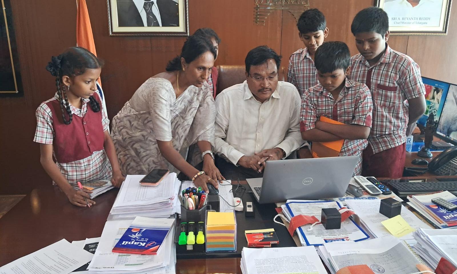
The students also visited the Hyderabad disaster response and asset protection agency (HYDRAA) and interacted with its commissioner A.V. Ranganath. His guidance helped them access HMDA maps and geospatial records containing information about the original boundaries of water bodies and their links to lakes located upstream and downstream.
Their study found that several lakes had reduced in size, while channels that once allowed water to move between them had been disrupted. Some water bodies had also ceased to function as parts of the original network.
The project recorded the work undertaken by HYDRAA to restore lakes, revive connecting channels and protect lake boundaries through the use of maps and geospatial records.
Scientists, academicians, educationists and delegates from BRICS countries appreciated the students’ presentation, according to the school education department. The director of IIT Tirupati presented them with the certificate in recognition of their research and presentation.
Disclaimer : This story is auto aggregated by a computer programme and has not been created or edited by DOWNTHENEWS. Publisher: deccanchronicle.com