
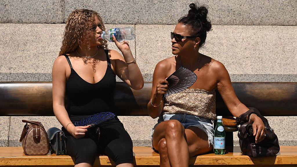
Bursts of summer weather are set to return this week, with temperatures forecast to reach 28C (82F) in some places.
After a rather cool week last week, all parts of the UK should feel warmer.
It will also be drier for most, although spells of rain will still feature.
Unfortunately for hay fever sufferers, pollen levels are likely to rise as the increasing temperatures come in the wake of wet weather.
How warm will it get?
All parts of the UK should feel warmer this week when compared with last week.
Temperatures may fluctuate from day to day though, depending on changes in wind direction and cloud cover, but will generally be close to or above average for the time of the year. Nights and the early commute will become warmer too.
For western Scotland and Northern Ireland temperatures are likely to be at their highest at the start of the week, under gentle south-easterly winds, with highs of around 19-21C (66-70F).
Elsewhere, with winds switching between south and south-westerlies, temperatures more widely in the low to mid-20s Celsius can be expected on some days.
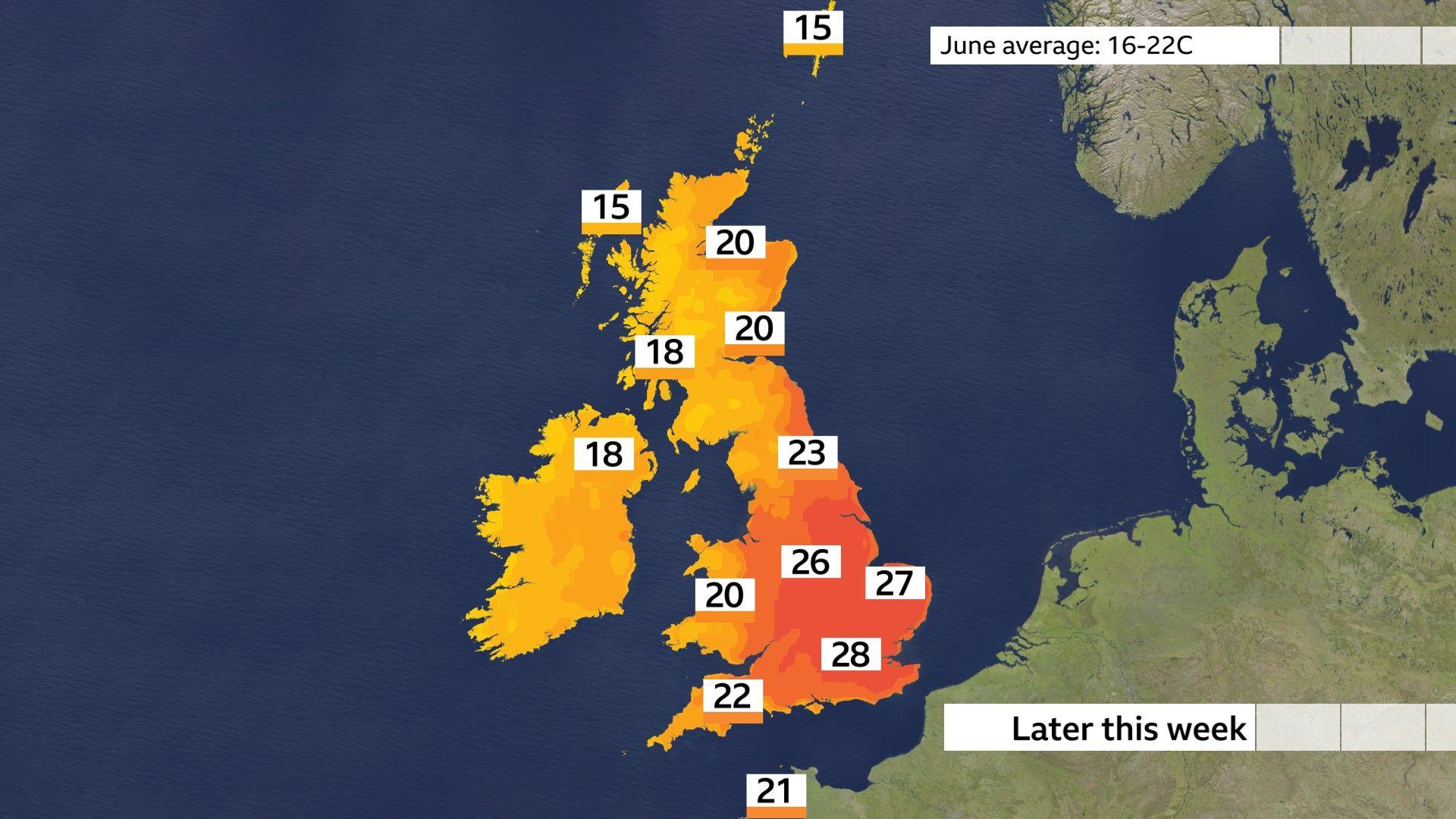
The main burst of heat will come later in the week through Thursday and Friday.
Building heat across parts of Europe looks likely to head our way, but more especially to parts of central and eastern England at this stage.
Forecasts suggest highs of around 28C (82F), but sunshine amounts and the exact wind direction means actual temperatures could be a couple of degrees either side of that.
A switch to westerly winds into the weekend means temperatures will dip again, but some computer models are suggesting the potential for a brief resurgence of some heat the following week.
Weather battleground means rain still likely
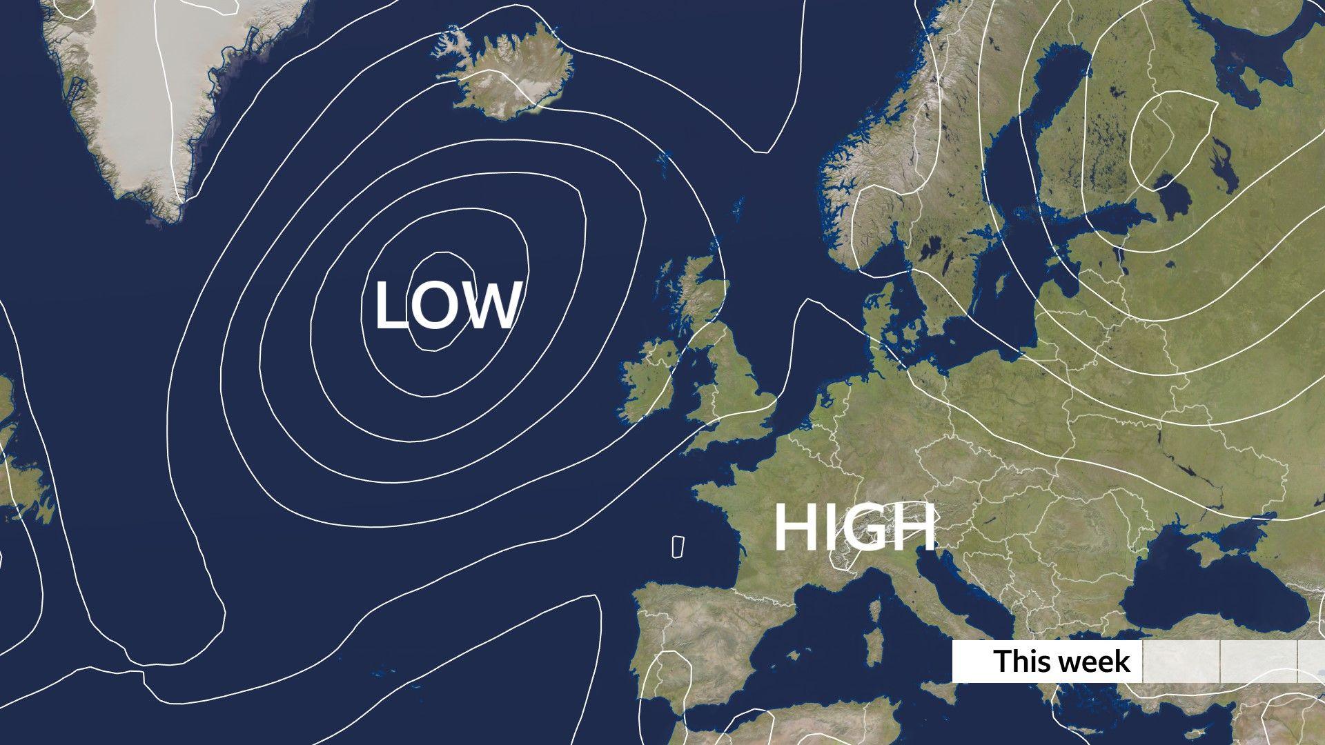
Complications to the forecast this week come from the differing weather patterns either side of the UK.
High pressure across mainland Europe will cause intense heat to build there. Places such as Paris and Berlin could get to 35 or 36C (95 or 97F). Meanwhile, a cool and showery area of low pressure will sit close to the north-west of the UK.
Each will exert an influence on our weather this week, which means spells of potentially hot sunshine interspersed with occasional bursts of rain.
The showery nature of it means totals will vary greatly. Those in the north and west, closer to low pressure will tend to see the higher rainfall amounts, whereas some in the south-east may see little to no rain at all.
-
What does 80 per cent chance of rain mean?
-
2 days ago
-
However, rainfall is still expected to be less than in recent weeks.
Only halfway through the month, a number of sites across southern England, Cumbria, Isle of Man, Dumfries and Galloway, and Northern Ireland have already received more rainfall than they would normally during the entirety of June.
Parts of East Anglia and southern England, including Norwich, Milton Keynes and Bournemouth have also seen more rain fall so far this month than they did through June.
 BBC WeatherWatchers/Mr Clow
Pollen levels increasing
As ever, an increase in sunshine and warmth usually comes with some drawbacks.
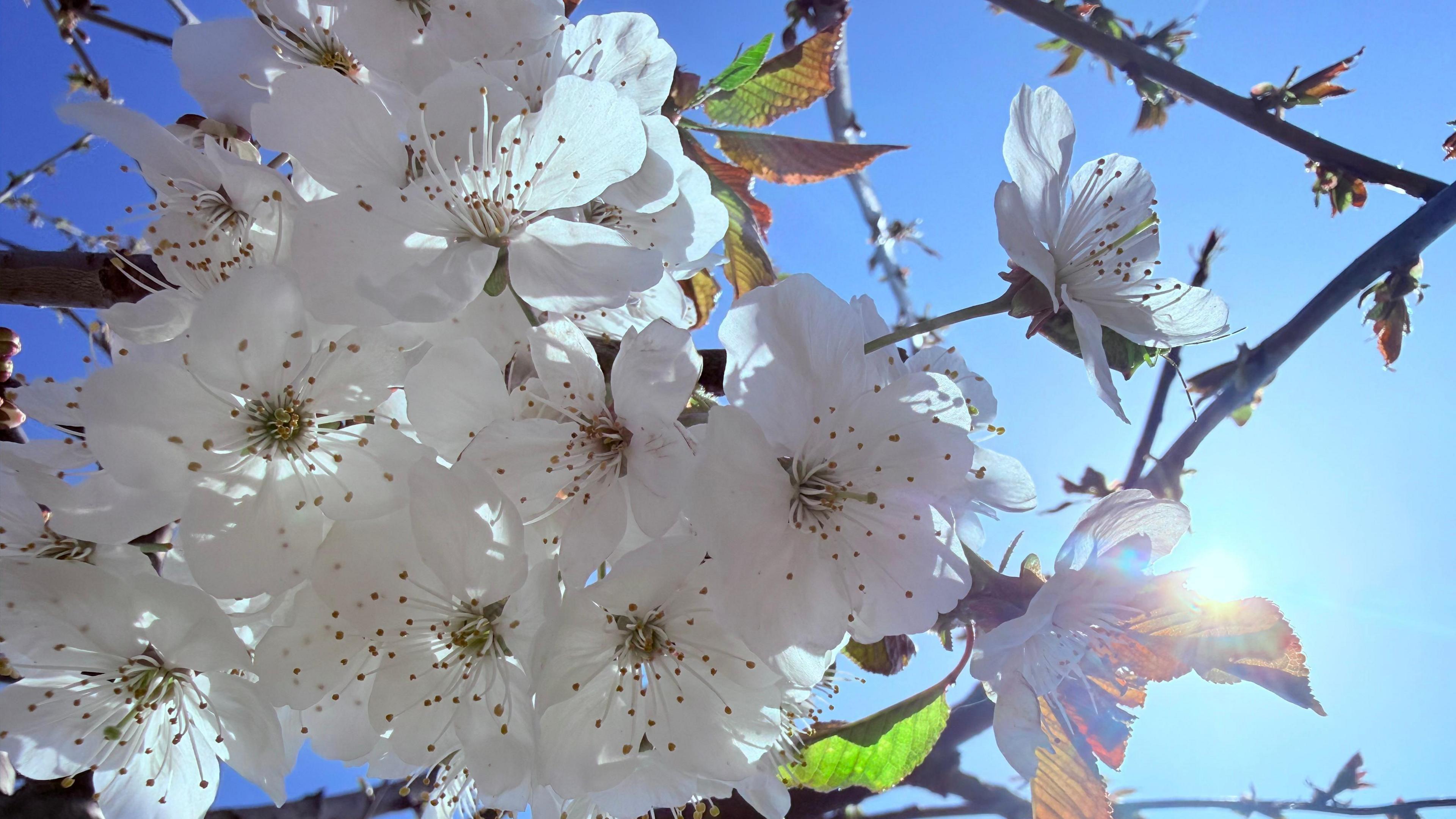
Hay fever sufferers may have already noticed an increase in sneezing and itchy eyes over recent days as we head into the peak of grass pollen season.
Rainy days recently have suppressed some of that pollen, but levels are likely to get a boost this week.
Warmer days often means greater pollen emission and if sunny, dry and breezy they are notoriously the trickiest days for allergy sufferers.
Disclaimer : This story is auto aggregated by a computer programme and has not been created or edited by DOWNTHENEWS. Publisher: BBC


