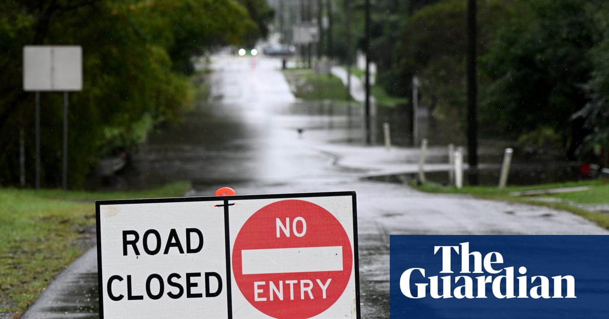
Wild weather more typical of summer than the last days of autumn has caused chaos in south-eastern Australia, unleashing a string of severe thunderstorms.
Heavy rainfall accompanied by 500,000 lightning strikes across Queensland and New South Wales triggered widespread flash flooding, road closures and travel disruptions.
Tasmania was also set to cop the brunt of the unseasonal weather that hit hard on Thursday.
“It’s very, very late in the season before winter to be getting these sorts of weather systems coming through,” said the Bureau of Meteorology’s Jonathan How.
“It’s very much the sort of weather pattern that you see during the spring or summer from the point of view that it is very humid.
“You don’t typically see these big storm outbreaks across the east coast in the last five or six days of autumn.”
Ilana Cherny, a senior meteorologist at the Bureau of Meteorology, said the wet weather battering eastern Australia was being driven by a broad low pressure trough that had drawn in “a lot of tropical moisture across the region”.
“In the midst of that trough, a low pressure system is developing and is slowly going to move offshore of NSW during Friday,” she said.
How said the low pressure system was expected on Friday to continue to drive heavy rainfall there. “We could see heavy falls and there is a possibility of flooding,” he said.
How added that showers would clear away from Sydney and the Central Coast into the middle of Friday.
It came as NRMA roadside assistance employees in Canberra, Sydney, Newcastle and Wollongong began a 24-hour strike – expected to end at midnight – over pay and conditions, a representative for the Australian Manufacturing Workers’ Union said.
Brisbane was hit by severe weather on Wednesday, with access to many roads temporarily cut as rain hammered down from the north. The city recorded 43mm of rain by 8.30am on Thursday.
There were also significant rainfall totals in Queensland’s parched southern interior and the Darling Downs. The highest total in the 24 hours to 7am on Thursday was 88mm at Tindarra on Bungil Creek, near Roma in the state’s central west. More rain was expected on Thursday, in good news for the region’s farmers.
In Tasmania, flood warnings were in place for the St Pauls River and the South Esk River. Eastern parts of the state saw rainfall totals over 100mm, with 251mm recorded at Gray.
The rainfall was expected to ease over the weekend as the low pressure system moved offshore, but “we could see some hazardous surf redeveloping up the east coast”, Cherny said.
From Friday evening, “a broad ridge of high pressure” would maintain “mostly mild and dry conditions across northern Australia”, How said.
In the BoM’s latest long-range forecast, released on Thursday afternoon, it said while late autumn rain in the east and west could ease recent dry conditions for some areas, rainfall was likely to be below average for much of Australia over winter.
“Most agricultural regions in the country’s south had an early autumn break in March,” said the BoM climatologist David Wilson. “Autumn break rainfall is yet to arrive in a few areas, including central Victoria.
“Many sites had their highest May temperatures on record,” Wilson said. This included Hobart, which recorded a high of 26.9C on 1 May – its highest temperature for the month since records began in 1882.
The climate crisis is making Australia more vulnerable to extreme weather and natural disasters, including intense rainfall. For each 1C of warming, the atmosphere can hold 7% more moisture. Rainfall intensities can be greater than this because, as raindrops form, they also release energy into a system.
Disclaimer : This story is auto aggregated by a computer programme and has not been created or edited by DOWNTHENEWS. Publisher: theguardian.com